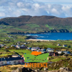
Cork is a very large county, about 7,500 km2, with incredible geographical features.
The River Lee rises in the Shehy Mountains, on the border between counties Kerry and Cork, and flows into Cork Harbor between Whitegate and Crosshaven. It is a core artery of the city of Cork and its western region. The river is crossed by 42 bridges, of which 29 are in the city of Cork.
The River Blackwater (or Munster Blackwater) flows through the counties of Kerry, Cork and Waterford. It is a renowned river for being one of the best for salmon fishing. A part of its course is recognized as a Protected Area, since innumerable species of birds are attracted by its richness. Salmon fishing is restricted and is done in the traditional fly-fishing style.
The Sheshy Mountains, on the border between Kerry and Cork, are home to the highest peak in the region, and are the origin of the rivers Lee and Bandon.
The Galtee Mountains cross part of Tipperary, Limmerick and Cork. It is the highest mountain range in Ireland.
Mizen Head is a peninsula located at the southernmost point of Ireland. There, you can visit the Fog Signal Station of 1909, built to avoid the large loss of lives caused by the collisions of ships against rocks. Today the system is automated, and the place has become a tourist attraction.
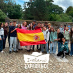
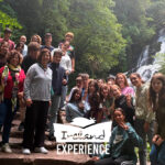
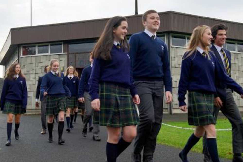
The Emerald Isle, as everyone knows Ireland, is full of incredible natural places, and County Cork, where we are based, will not disappoint. If you want your kid to enjoy an unforgettable stay in this wonderful place, please contact Ireland Experience.